
Free · No upload · No account
Add GPS Location to a Photo
Geotag a photo — write GPS coordinates into its EXIF and download the result. Paste from Google Maps or use your current location. Lossless for JPEG. Everything runs in your browser: your photo is never uploaded. [ + ]
Drop a JPEG to add a location
Paste coordinates or use your current location; the GPS tags are written into a copy of the photo. JPEG only · nothing is uploaded.
Photos are read locally on your device — this page makes no network request with your file.
For iPhone, iPad & Mac · Featured by Apple
The full EXIF toolkit lives on your iPhone
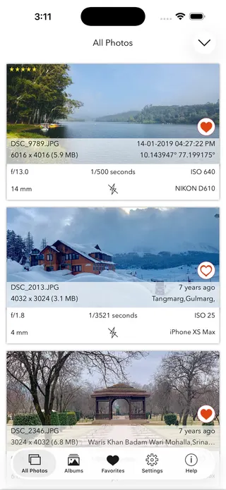
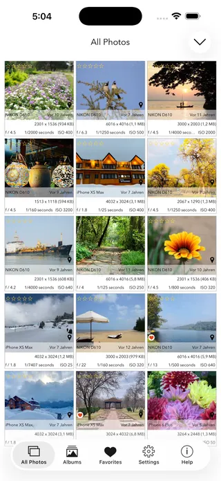
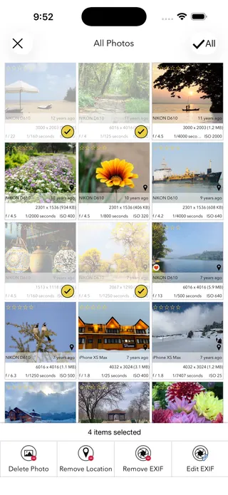
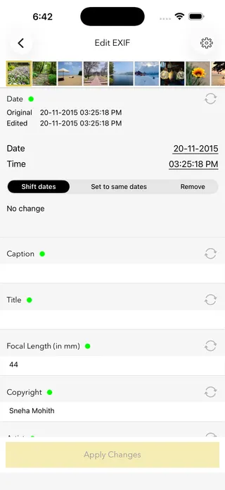
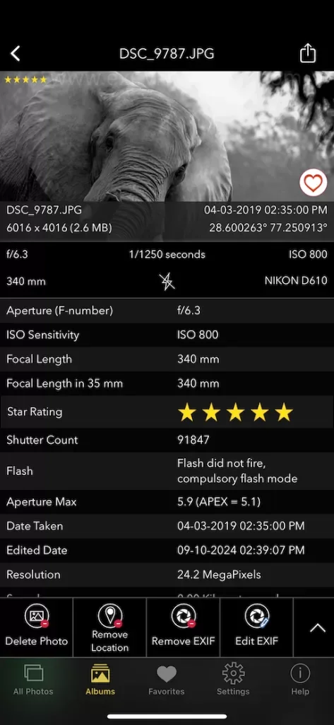
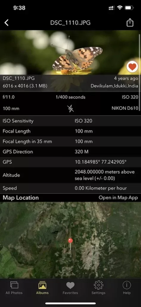
This page shows what’s inside a photo. EXIF Viewer by Fluntro goes further — view, edit, and remove metadata (including GPS geotags) right in your photo library, bulk-edit dates and locations, and share any photo with or without its EXIF. Buy once, use on iPhone, iPad and Mac. No subscription. Your photos never leave your device there either.
4.7· 1.9K ratingsFeatured by Apple
Add GPS to a Photo — frequently asked questions
Short answers; the app’s guides go deeper.
How do I add a GPS location to a photo?
Drop a JPEG photo onto this page, enter the coordinates (or paste them straight from Google Maps, or use your current location), and click Apply and download. The GPS fields are written into the EXIF in your browser — the image is not recompressed and nothing is uploaded.
How do I get coordinates from Google Maps?
In Google Maps, right-click the exact spot and click the coordinates at the top of the menu — they are copied to your clipboard as latitude, longitude. Paste them into the coordinates box here and they are filled in automatically.
Why would I geotag a photo?
Common reasons: cameras without GPS leave photos location-less, scanned photos have no location, and location was switched off at the time. Adding the GPS afterwards makes the photos appear on the map in Apple Photos, Google Photos, and Lightroom.
Does adding GPS change photo quality?
No. Only the metadata block is rewritten — the image pixels are copied through untouched, with no recompression. All other metadata, including camera details and dates, is preserved.
Is my photo uploaded to a server?
No. The coordinates are written entirely in your browser, on your own device. If you use the current-location button, the position comes from your device's own geolocation — the photo is never sent anywhere.
Can photo apps see the added location?
Yes — Apple Photos, Google Photos, Lightroom and others read the standard EXIF GPS fields this tool writes, and will place the photo on their maps accordingly.
Does this work with HEIC or RAW files?
This web tool writes GPS into JPEG files. For HEIC photos, and for geotagging many photos at once, the EXIF Viewer by Fluntro app edits location directly in your iPhone or iPad photo library, including in bulk.
Can I remove a location instead of adding one?
Yes — use the free Remove EXIF Data tool on this site to strip the GPS (and all other metadata) from a photo before sharing it.
A note on honesty: is geotagging photos misleading?
Adding the true location to your own photos is exactly what this tool is for — restoring information the camera missed. As with any metadata edit, a geotag must never be presented as evidence of where a photo was taken in legal or insurance matters.
Is this geotag tool free?
Yes, completely free, no account, no upload. For bulk location editing on iPhone and iPad, the EXIF Viewer by Fluntro app is a one-time purchase.
Private by design
This tool was built so your photos never have to leave your device. Here’s exactly what that means for your data.
Nothing is uploaded
Your photo is opened and read entirely inside your own browser. It is never sent to a server, stored, or shared — once this page has loaded, it even works with your connection switched off.
No account, no tracking
There is no sign-up and no advertising cookies. The only thing saved on your device is your light or dark theme preference. Page views are counted without cookies or identifiers.
Your location stays yours
If a photo contains GPS coordinates, they are shown only to you, on your screen. We never see them, and any map link opens only if you choose to click it.
Nothing to collect
Because no personal data leaves your device, there is nothing for us to collect, log, or process. The full details are in our Privacy Policy.
Metadata is read from your file exactly as it was saved and is shown “as is.” It can be missing, altered, or inaccurate — for example, timestamps depend on the camera's clock and GPS can be approximate — so please don't rely on it as proof for legal, forensic, insurance, or safety decisions. This tool is provided free and without warranty; see our See our Terms & Disclaimer and Privacy Policy.
More free photo tools
All 20 run in your browser — nothing is ever uploaded.
Inspect & verify
- EXIF Metadata ViewerSee every tag hidden in a photo
- Photo Privacy CheckerWhat does your photo reveal about you?
- Is This Photo Edited?Editing traces & AI markers
- What Camera Took This Photo?Identify the camera, phone & lens
- When Was This Photo Taken?Find the exact date & time
- Photo Location ViewerSee where a photo was taken
- Camera Shutter CountCheck a camera’s shutter actuations
Edit & clean
- Remove EXIF DataStrip metadata & GPS — losslessly
- Change Photo DateFix the EXIF date & time
- Add GPS to a PhotoGeotag — write a location into EXIF · you are here
- Add Copyright to a PhotoEmbed your name in the metadata